Looking for better communication
A key challenge for the task of Building or Infrastructure Management has to do with communication. The challenge arises because of the natural complexity of the process.
On one hand, a project usually requires collaboration among several disciplines. On the other hand, every discipline must submit its own version. The issue is compounded when disciplines have to make adjustments, creating a domino effect of adjustments that soon overwhelms the process. The consequence is often delayed design times

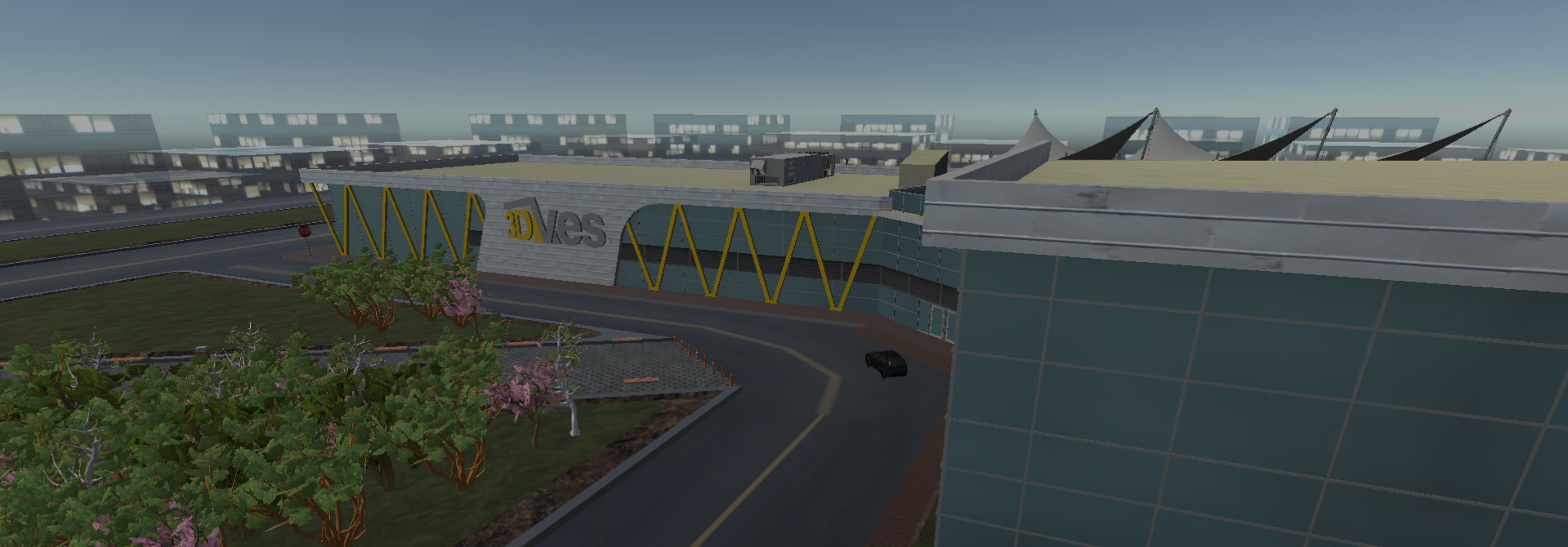
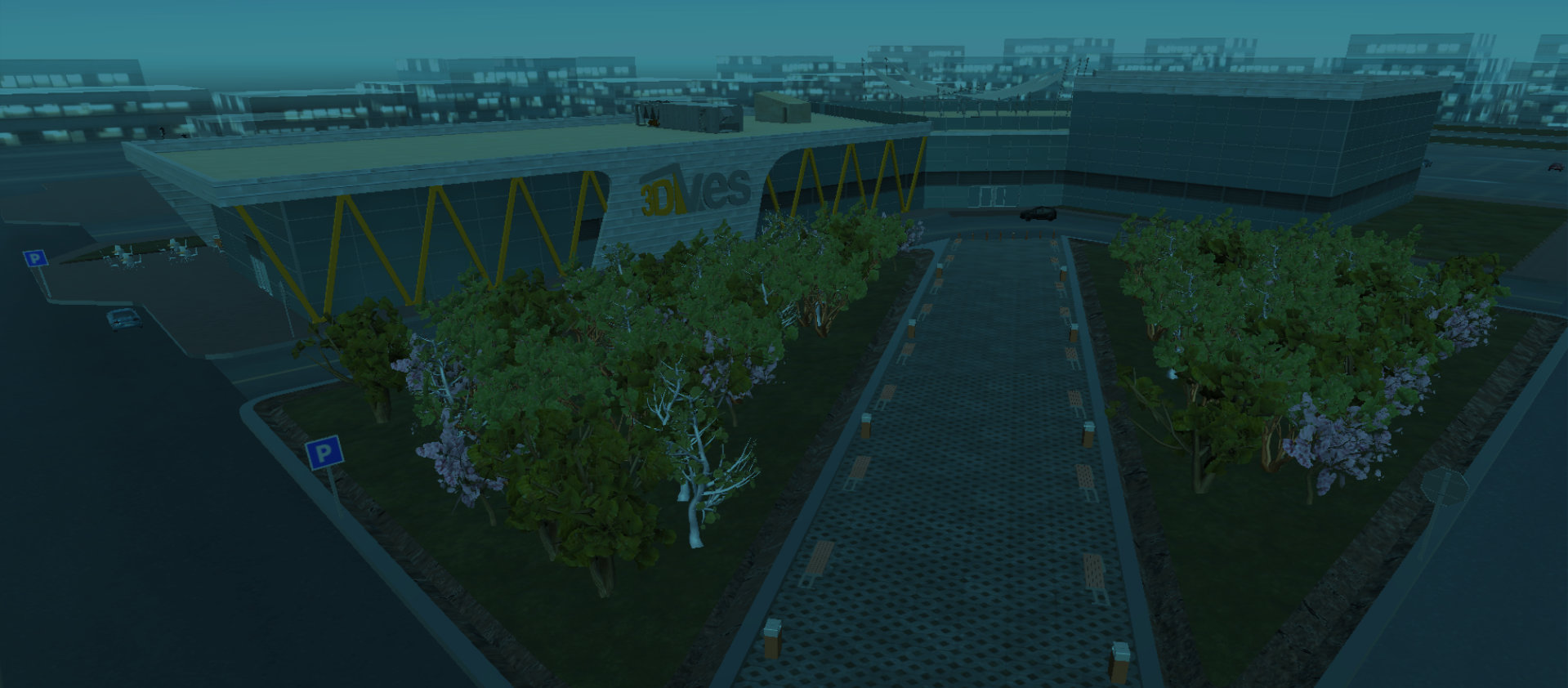
Single platform on all your devices
The 3DVES solution addresses this gap by bringing all key stakeholders onto a single game-like platform, accessible from anywhere, and from any computer, tablet or mobile device. It provides the user with an intuitive user-friendly interface and interaction with the model.
We give the stakeholder the ability to visualize any Building Information Modeling (BIM) or Virtual Design and Construction (VDC).
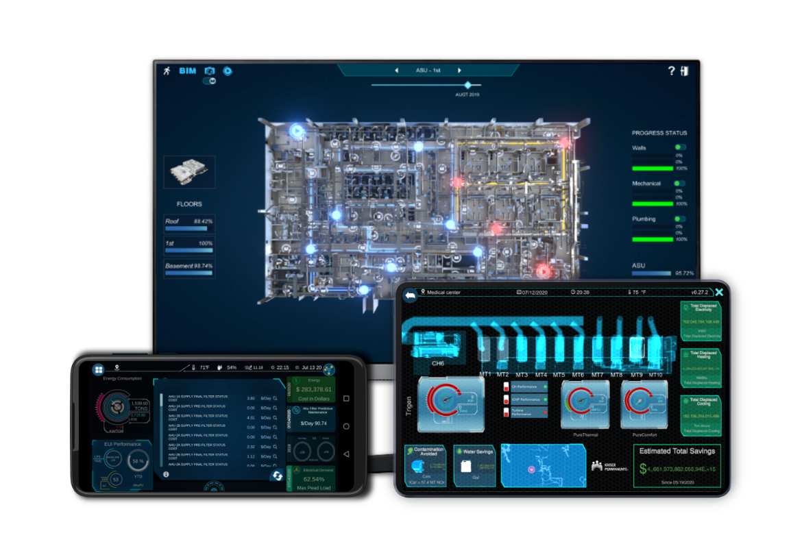
New alternatives and process optimization
Within the Virtual Building industry, we are leveraging tools to design the build on semi-automatic or automatic modes, minimizing labor and maximizing time for the analysis of different options with alternative manifolds.This leads to the optimization of the design, and of machine learning models.
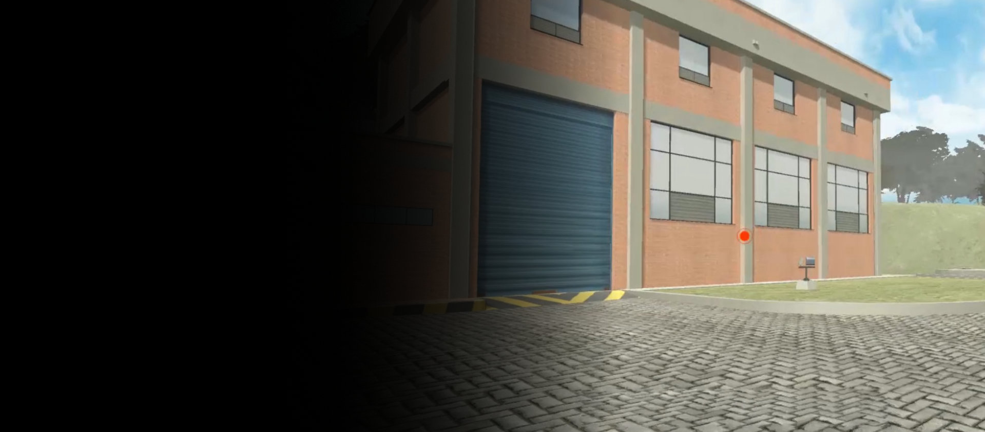
Real and accurate enviroment
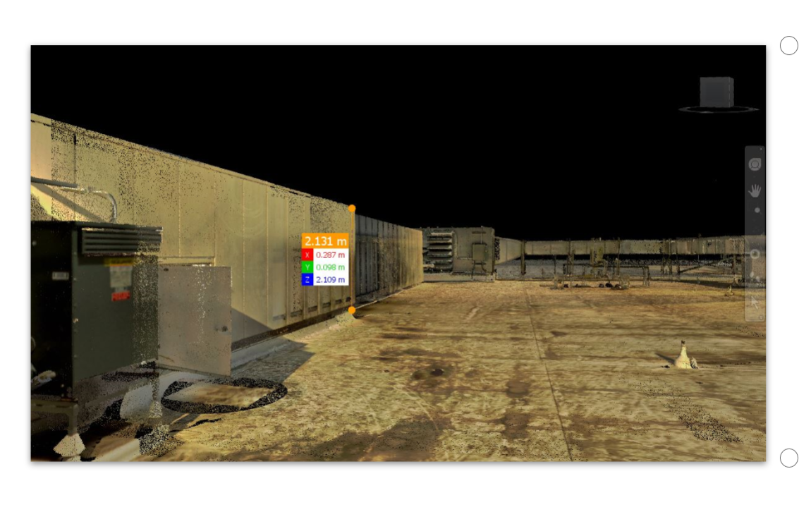
3DVES' focus is three-fold: to create an environment where the Reality Capture represents the natural reality as closely as possible; to position the user in the real world; and to take point-to-point measurements from any two points in your scaled point clouds.
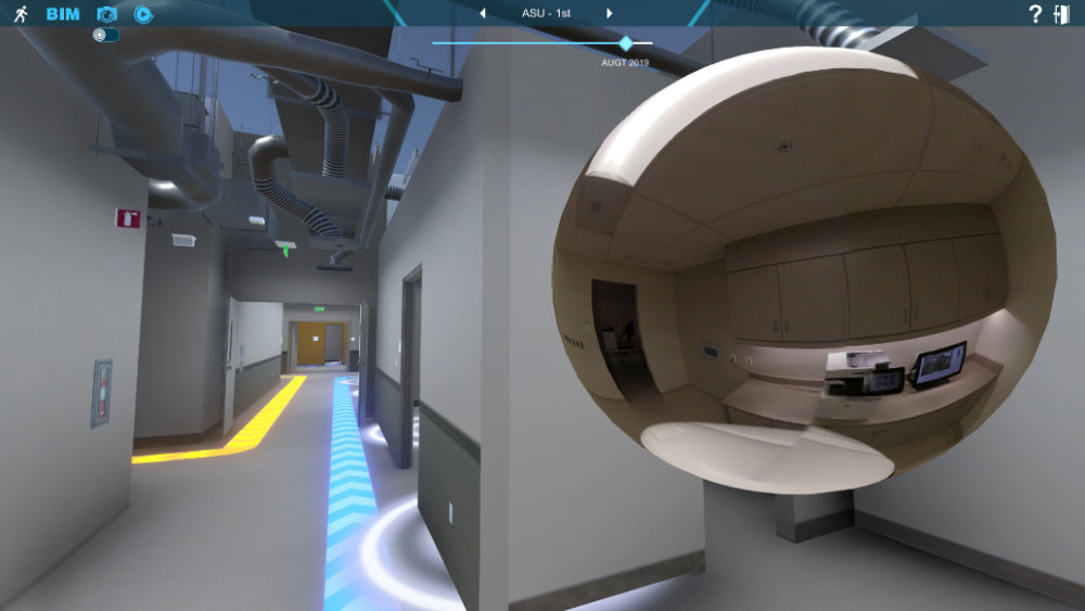
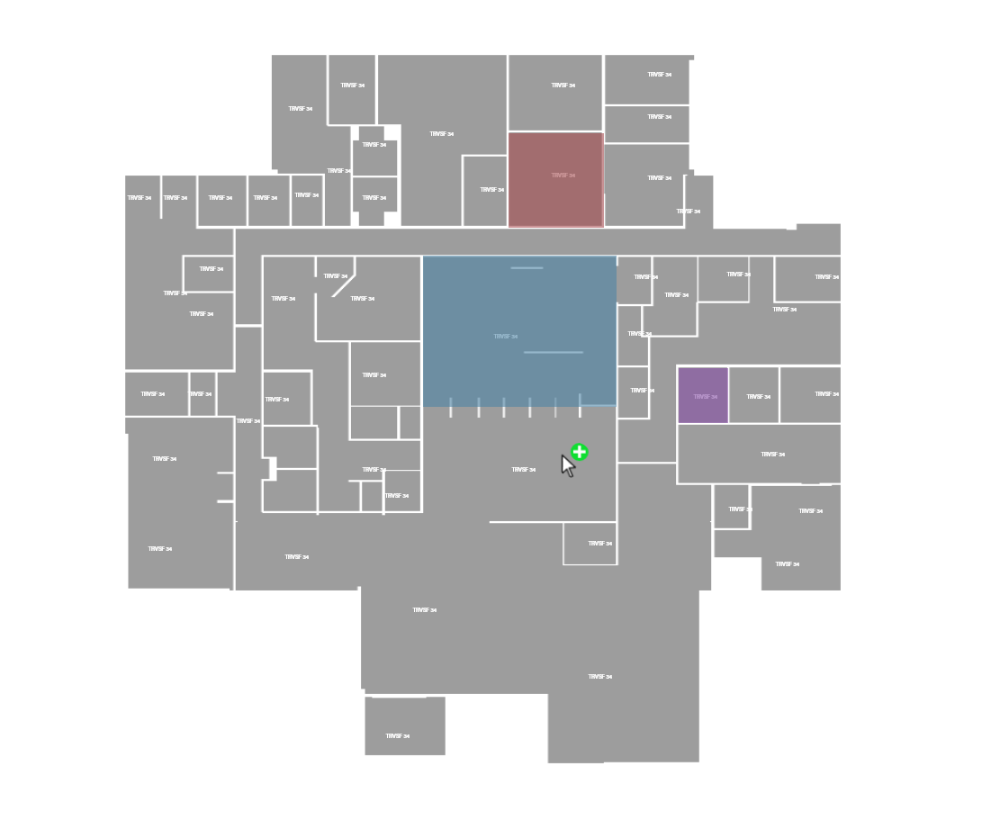
Tools in every location
One of the most complementary tools for any virtual building or infrastructure is 360 photography (and 360 video) because it allows the user to capture the reality and to have the option to view spherical imagery – to view 360 imagery from each scan location, photography location or video path.
The Virtual World application has a variety of uses: virtual tours, facility management, historic preservation, virtual training, and more!